And now the weather – with Ariane
24.03.2023

Do I need to take an umbrella with me this morning? Will there be fog on the roads or at the airports? Will a cold snap affect my plants? More importantly, is an extreme weather event imminent that could endanger life or infrastructure?
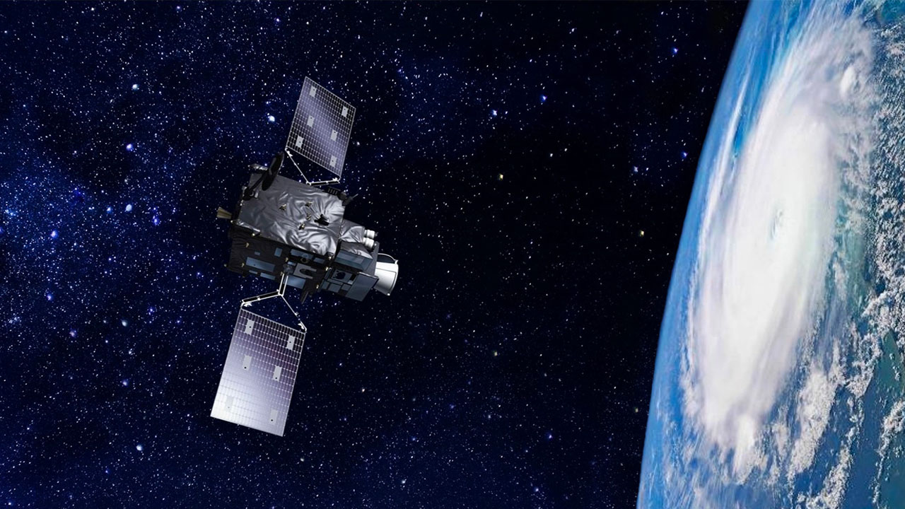
Weather forecasts are part of our life, via television or internet apps, and the information on which they are based comes from space. Europe’s Meteosat satellites, among the most sophisticated in the world, have been providing crucial data for weather forecasting for over 40 years.
They aid meteorologists in preparing their daily briefings, in identifying and monitoring the development of potentially dangerous weather situations, helping to anticipate the effects of severe weather and thus protect human life and property.
This information is also critical for the safety of air travel, shipping, and road traffic, and to the daily business of farming, construction and a host of other industries.
And behind them is Ariane, getting the satellites into space to do their job
Ariane rockets have launched all bar one of the Meteosat series (12 to date – and more to come) – Meteosat-1 was launched in 1977 before the first Ariane was available. Meteosat-2 was launched on June 19, 1981 on one of Ariane 1’s qualification flights from the European Spaceport in Kourou, French Guiana. It was a resounding success.
Ariane 4 took over, launching the next five Meteosats, with the last of the first generation, Meteosat-7, lofted on September 2, 1997.
Meteosats are positioned in geostationary orbit, at 36,000 km above the Earth traveling at the same speed as the Earth rotates. This means that they remain in a fixed position relative to the Earth’s surface, constantly monitoring the same area, providing a continuous stream of images of the whole Earth disc. Their position in geostationary orbit at 0 degrees longitude over the equator gives them an unprecedented view over Europe, Africa and the eastern Atlantic.
Geostationary satellites are essential to provide imagery for early detection of fast-developing severe weather conditions (“nowcasting”), weather forecasting, and climate monitoring.
The second generation of Meteosats (Meteosat-8 to Meteosat-11), significantly upgraded and enhanced, were all perfectly launched by Ariane 5 between 2002 and 2015. They provide full Earth disc imagery (Europe, Africa, and parts of the Atlantic and Indian Oceans) every 15 minutes and rapid scan imagery over Europe every five minutes.
The first of the Meteosat third generation satellites was launched on December 13, 2022 by Ariane 5, heralding a new era in weather forecasting.
Meteosat-12 supplies a full picture of the weather below it every 10 minutes, five minutes faster than is currently the case. It can see even smaller features in the atmosphere, down to 500 m across, and view them in more wavelengths of light. A major innovation is the inclusion of a lightning detector – very important because lightning is a harbinger of strong winds and hail.
Ariane 6 will launch the next members of the Meteosat family to ensure the continuity of accurate and safe European weather forecasting.